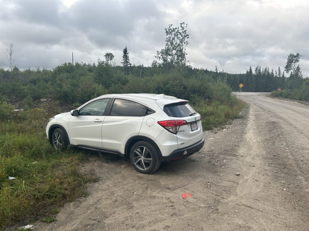
This is where we slept last night: a side road off of the main route 17, which can be seen in this photo. 300m behind me are the railroad tracks, a crossing with no signals or gates, the public may proceed at their own risk. The trains here are FAST, and I prefer to stay alive. Anyway, I found a good place to pull offf and nobody bothered us. But at least 3 trucks did come by overnight.
I found a couple hours to do my jobs. I parked behind a Walmart and got excellent WiFi in a quiet location. By moving Bella’s crate over to the right, I was able to push the drivers seat way back and have room for my computer in front of the steering wheel. Way more comfortable than Tom Horton, which was a zoo in the morning. I also stocked up on water and bathroom break at that Walmart, and grabbed some veggies for the day. Super!
We continued our journey through the boreal forest and saw many interesting changes in it, which are recorded on my other camera. We went through some beautiful granite landscape, which was getting progressively less hilly, and the boreal forest was more lush. At one point it seemed we were headed for the prairies: we had about 30 minutes of non-boreal forests with pine trees and less moisture overall, and also some farms. But then the boreal forest returned.
Not long after that we arrived in Manitoba, where some friendly people in the visitor center helped me plot my course to Calgary.

Soon after entering Manitoba we arrived in REAL prairie: land and sky and fields as far as the eye can see! Amazingly flat! And… there’s a little exhibit with the longitudinal center of Canada , where I stopped of course. We had quite a little rain shower there with small droplets and heavy winds. Reminds me of the song Oklahoma! These kinds of wide open spaces and grasslands are fascinating, but it’s such a different headspace than forests and mountains. In any case I welcomed the change of scenery.
And the change of weather… things got chilly today, so much they by evening I was wearing long pants, jacket and a cap. Working in my car with the windows closed was really pleasant.
As for the longitudinal center… nowhere was it described how they came to that conclusion. Did they just take the average of canadas max and min longitude? Or did they integrated the longitude of its infinitesimal land parcels? Or did they find its center of mass and back-project to get the longitude of that point? Nobody knows… but clearly… depending on how YOU define the longitudinal center, this monument might be in the wrong place, maybe a VERY wrong place. But no matter, it was a fun place to stop and revel in wonder at the prairie around me.

And also take a portrait of Bella in an adjacent wheat field, which I… sampled. My guess is the US agents won’t let me take it to Alaska, but who knows? Until then it’s on my dashboard to remind me of this wonderful moment.

And those plains? I love how you can SEE rainstorms far off. Like this one.

I spent some time driving around Winnipeg. It’s a bit of a sprawling cow town, but clearly more prosperous than any other Canadian city id seen so far. And who am I to judge? ok I will judge… the closest natural food store or food coop is in Calgary. Winnipeg really does not look like my kind of college town place.
I finished the day a little west in Portage la Prairie, a town where the trans Canada highway meets some meandering (low slope) rivers, and there’s a bunch of hydraulic control here now. According to Google AI:
Prairie Portage Canada Red River” refers to Portage la Prairie, a city in Manitoba, Canada, named by fur traders who would carry their canoes over the prairies between the Assiniboine River and Lake Manitoba. While not directly on the Red River, Portage la Prairie is connected to the Red River flood control efforts through the Portage Diversion, a structure that diverts water from the Assiniboine River (which flows into the Red River) to Lake Manitoba to prevent flooding in the Red River Valley, including Winnipeg.
That all sounds plausible, like Google is not hallucinating. Yes I’ve been aware that this region is intertwined with the red river and its associated valley. Apparently the diversion gets the water to flow into lake Manitoba instead of lake Winnipeg, both of which flow into Hudson Bay (and the Arctic Ocean). Before the diversion was built, this town was apparently flooded frequently.
BYW here is the map of watersheds of North America, we’re in the middle of that brown bloom (red river valley) which flows into Hudson Bay! It also clearly shows, alas, that the Yukon river basin in Alaska does not flow into the arctic. So somewhere up north I will cross into pacific territory.
Btw this is the red river of the north, not to be confused with the red river of the south, in Texas and stuff.

Well, that’s all folks! Time to get some shit-eye and push west tomorrow on these flat, fast and efficient prairies roads!